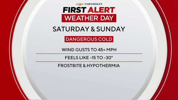
An Extreme Cold Warning and Wind Advisory will affect the New York–New Jersey tri-state area this weekend with temps crashing into the teens and single digits, wind chills down to -30°F in the far north/west, and gusts near 40 mph; light snow is possible (most areas a coating to ~1", 1–3" possible to the north and east). The conditions raise short-term risk for transportation disruptions and elevated heating/energy demand, but the episode is brief with temperatures rebounding into the 30s (still 5–10°F below normal) by next week.
Market Structure: The immediate winners are short-dated energy sellers and local electric/gas utilities who see 24–72 hour spike in heating demand — expect NY/NJ power forwards and Henry Hub spot to rise 5–20% intraday if sustained cold persists. Losers are transportation-exposed services (regional airlines, delivery/logistics) and foot-traffic retail in the metro area; modest supply disruptions (trucking delays, construction pauses) could compress weekly same-store-sales by 1–3% in affected retailers. Cross-asset: front-month natural gas futures and power forwards will show the largest vol moves; short-term volatility in gas (HV) and utility equity options will widen, while FX and sovereign bonds are largely immaterial except municipal liquidity for emergency services.
AI-powered research, real-time alerts, and portfolio analytics for institutional investors.
Request DemoOverall Sentiment
neutral
Sentiment Score
0.00
