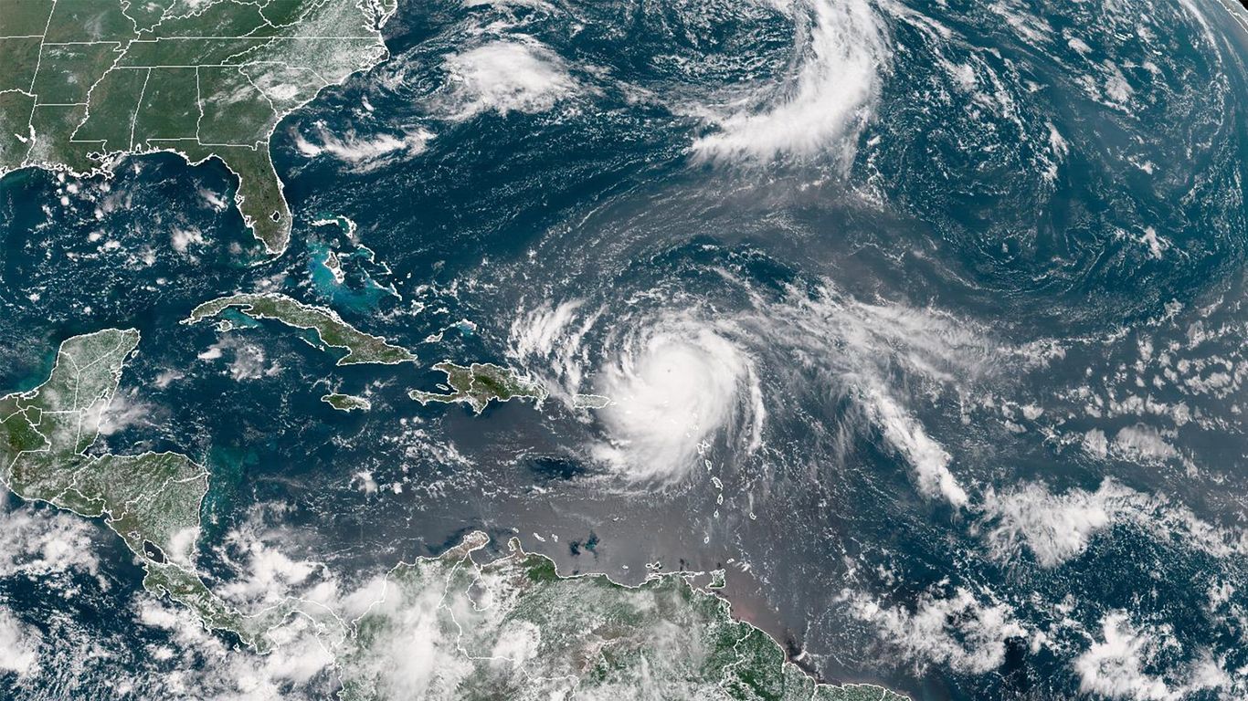
Hurricane Erin has escalated to a Category 5 storm with 160mph sustained winds, signaling potential for catastrophic damage and life-threatening surf and rip currents across the Bahamas, Bermuda, and the US East Coast next week. Forecasts indicate the storm's size will significantly expand as it tracks northward, broadening the area of impact to include heavy rainfall and dangerous coastal conditions from Florida to the Mid-Atlantic. This intensification and expansion heighten concerns for substantial insured losses and widespread economic disruption across affected regions.
Hurricane Erin has rapidly intensified into a Category 5 storm, presenting a significant and evolving threat to a wide geographic area. With sustained winds of 160mph, the storm is capable of causing "catastrophic damage" according to the Saffir-Simpson scale. A key development noted by the National Hurricane Center is the formation of a secondary eyewall, which indicates the storm's destructive wind field is projected to more than double in size. This expansion significantly increases the scope of potential economic disruption, extending beyond the storm's immediate core. The forecast for "life-threatening surf" and wave heights exceeding 50 feet near the center poses a severe risk to coastal infrastructure and populations along the U.S. East Coast, from Florida to the mid-Atlantic states, as well as Bermuda and multiple Caribbean islands. The combination of the storm's extreme intensity and its expanding size points toward substantial insured losses for property and casualty insurers and widespread disruption to regional economies, particularly affecting tourism, shipping, and retail supply chains.
AI-powered research, real-time alerts, and portfolio analytics for institutional investors.
Request DemoOverall Sentiment
extremely negative
Sentiment Score
-0.85
