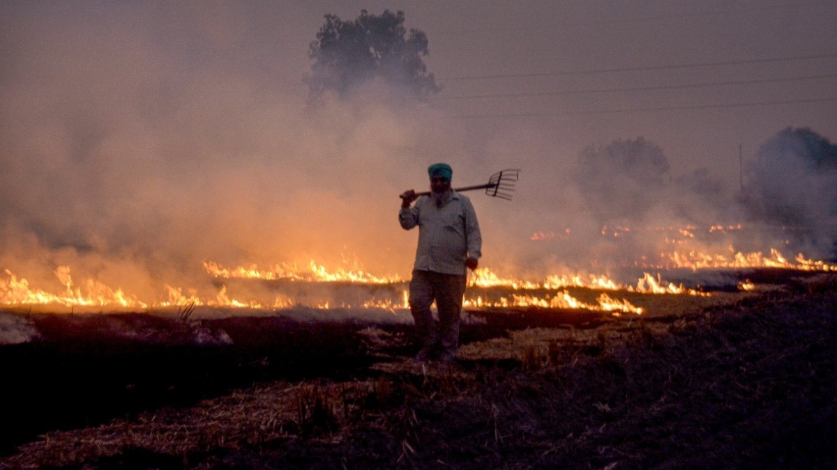
NASA and international research find farmers in northern India have shifted paddy-stubble burning to late afternoon (peaking ~4–6pm versus ~1:30pm previously), causing many fires to be missed by traditional satellite sensors such as MODIS and VIIRS and prompting reliance on higher-frequency platforms like GEO-KOMPSAT-2A and multi-satellite analyses. 2025 fire counts in Punjab and Haryana were moderate—higher than 2024, 2020 and 2019 but lower than 2021–23—underscoring that monitoring systems must adapt to changing practices. Because evening burns coincide with a shallower boundary layer and weaker winds, overnight pollution buildup may increase and contributions of stubble burning to Delhi’s smog (studies range 10–50%; NASA estimates 40–70% on peak days, 20–30% over a month, <10% annually) could be underestimated, complicating air-quality management and policy responses.
NASA and international research report a systematic shift in paddy-stubble burning timing in northern India from early afternoon (around 1:30 p.m. in 2020) to late afternoon/early evening (peaking roughly 4–6 p.m. by 2024–25), causing many fires to be missed by conventional sensors such as MODIS and VIIRS and prompting use of higher-frequency platforms including GEO-KOMPSAT-2A. GEO-KOMPSAT-2A data indicate 2025 fire counts in Punjab and Haryana were moderate—higher than 2024, 2020 and 2019 but lower than 2021–2023—supporting the conclusion that monitoring strategies must adapt.
The timing shift has direct air-quality consequences because evening fires coincide with a shallower planetary boundary layer and weaker winds, increasing overnight pollution accumulation; modelling suggests this could worsen nocturnal smog episodes. Attribution remains debated: studies place stubble-burning contributions to Delhi’s pollution between 10–50%, while NASA estimates peak-day contributions of 40–70%, 20–30% over a month and under 10% annually, implying standard satellite-based surveillance may systematically understate episodic impacts.
The evidence points to rising demand for high-frequency satellite observations, multi-sensor fusion and near-real-time modelling to inform public-health responses and policy. This creates commercial opportunities for geospatial data providers and analytics firms while increasing short-term regulatory risk for urban areas during the burning season, suggesting investors should track monitoring-capability adoption and government interventions closely.
AI-powered research, real-time alerts, and portfolio analytics for institutional investors.
Request DemoOverall Sentiment
mildly negative
Sentiment Score
-0.35
