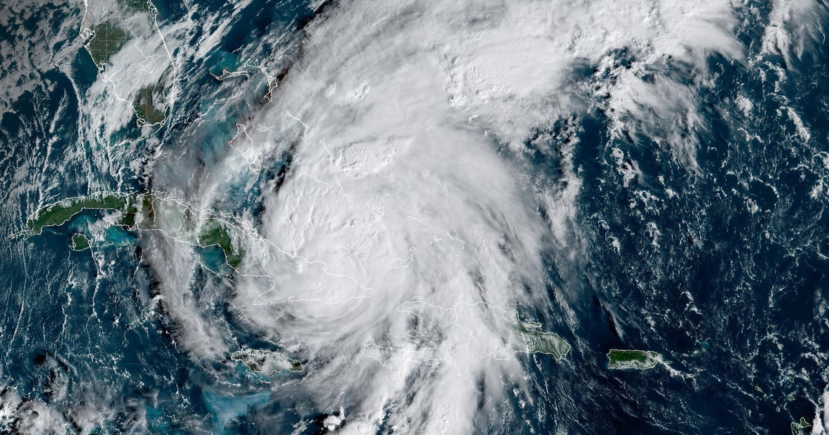
A NOAA Hurricane Hunter dropsonde recorded a 252 mph wind gust in Hurricane Melissa shortly before it fell into the ocean, a reading the U.S. National Science Foundation’s NCAR and NOAA validated as the highest wind speed ever measured by a dropsonde (surpassing Typhoon Megi’s 248 mph in 2010). The dropsonde — which captures near‑surface pressure, temperature, humidity and wind — provides data used in forecasts and emergency warnings, and the confirmation underscores Melissa’s intensity as a late‑October Category 5 landfall in Jamaica that caused catastrophic damage and dozens of fatalities in Jamaica and Haiti. The verified measurement strengthens observational inputs for storm modeling and extreme‑wind risk assessment, which are material for forecasting, emergency response and loss-estimation.
A NOAA Hurricane Hunter dropsonde recorded a 252 mph wind gust in Hurricane Melissa shortly before the instrument fell into the ocean, and the U.S. National Science Foundation's NCAR and NOAA validated this as the highest wind speed measured by a dropsonde, surpassing Typhoon Megi's 248 mph reading in 2010. The storm made late-October landfall in Jamaica as a Category 5 and caused catastrophic damage with dozens of fatalities primarily in Jamaica and Haiti.
Dropsondes provide high-frequency, near-surface measurements of pressure, temperature, humidity and wind—data aircraft cannot safely collect at sea level during Category 4/5 events—and NSF NCAR confirmed the 252 mph gust after quality-control software review and physical-plausibility checks. The validation noted the reading tracked with the storm's behavior and prior patterns, supporting its reliability for modeling inputs.
A verified extreme-wind observation of this magnitude materially strengthens inputs for forecasting, emergency warnings and extreme-wind risk assessment, which in turn affects loss-estimation and potential insurer/reinsurer exposures. Given the article's moderately negative sentiment and the catastrophic landfall, expect near-term catastrophe-model updates and claims activity even though the reported market-impact score (0.18) suggests limited immediate market dislocation.
AI-powered research, real-time alerts, and portfolio analytics for institutional investors.
Request DemoOverall Sentiment
moderately negative
Sentiment Score
-0.60
