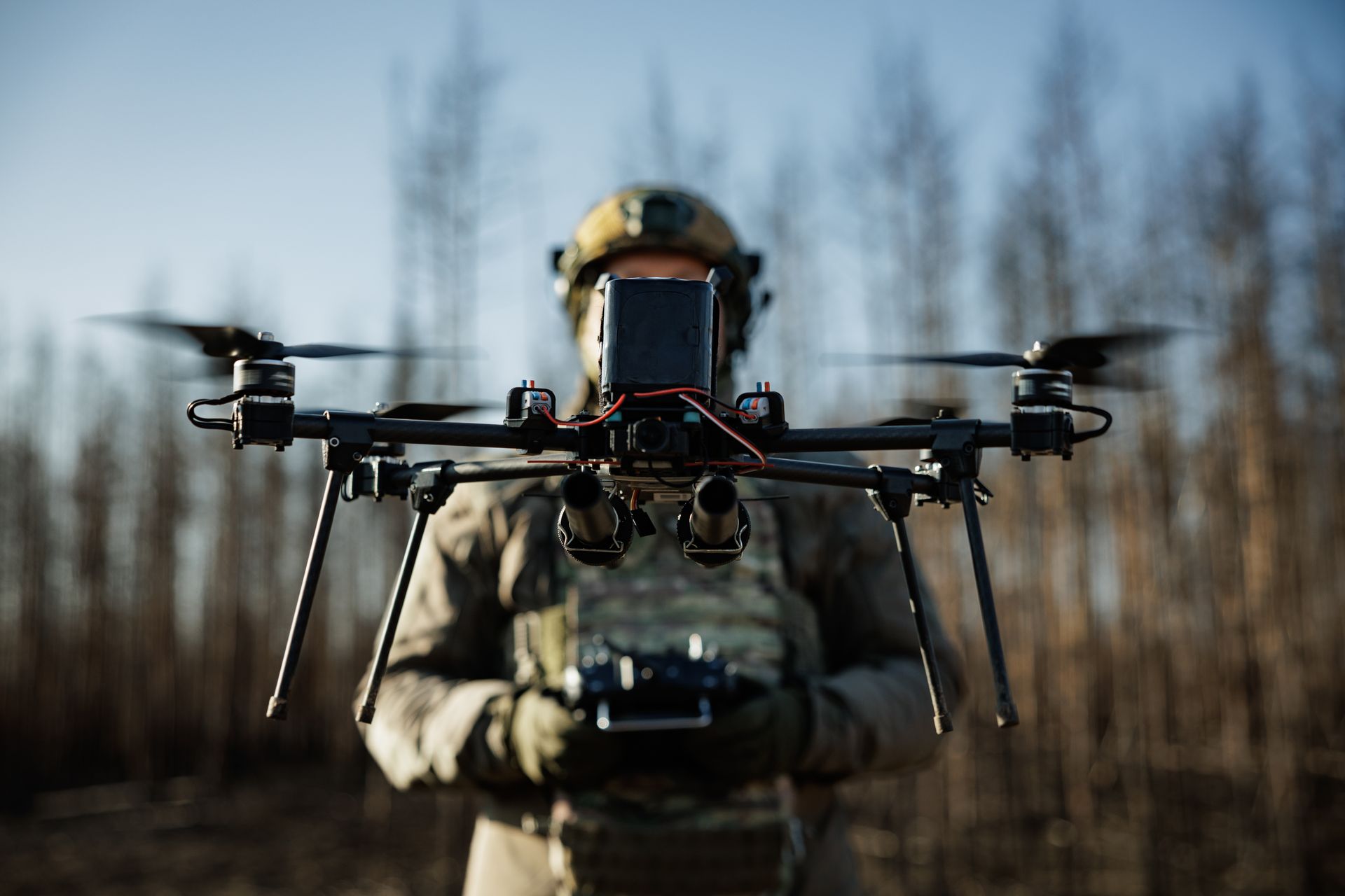
Open-source mapping and OSINT projects such as DeepState have become primary sources of battlefield verification as Ukraine's front line grows porous and information warfare intensifies; these projects geolocate drone and user-generated video, cross-check with satellite imagery, and typically update maps 2–3 days after events. Russian tactics now favor small infiltration assault teams exploiting Ukrainian manpower shortages to create jagged contact zones and episodic deep penetrations (notably a ~15 km breach near Dobropillia), while Kyiv has deployed controversial Assault Forces in counterattacks—developments that increase operational uncertainty and have implications for defense assessments and risk pricing in the region.
Market structure: The tactical shift to drone-heavy reconnaissance/strike and small-unit infiltration increases demand for ISR, EO/IR satellite imagery, tactical drone systems, and counter-drone C-UAS electronics (beneficiaries: MAXR, PLTR, LHX, AVAV). Legacy image-licensing and one-off photo suppliers (GETY) and broad media distributors face secular pressure as real-time OSINT and user-generated geolocated footage substitutes licensed imagery; expect share reallocation into data+sensors over 6–24 months. Pricing power will favor firms with recurring data subscriptions and low-latency delivery; expect revenue mix shifts +10–30% toward services for pure-play imagery/data vendors in 12 months.
Risk assessment: Tail risks include rapid escalation (NATO engagement) or systemic cyberattacks on satellite constellations that could wipe near-term revenues; probability low but impact multi-billion-dollar and market-wide. Immediate (days) — headline-driven volatility; short-term (weeks–months) — procurement cycles and Congressional aid votes drive order visibility; long-term (3–5 years) — structural rearmament, semiconductor export controls and supply-chain bottlenecks will constrain small-drone OEM production. Hidden dependency: commercial imagery/AI analytics depend on U.S./EU export controls and COTS chip supply (NXPI/QCOM exposure).
Trade implications: Tactical ideas — overweight satellite imagery (MAXR) and analytics (PLTR) while accumulating counter-drone prime exposure (LHX, RTX) on pullbacks; consider pair trades long MAXR / short GETY to express data over imagery-licensing. Options: buy 3–9 month call spreads on MAXR and PLTR to capture re-rating around funding/capability announcements; hedge with 1–2% GLD (gold) for geopolitical tail risk. Entry: initiate positions on pullbacks >8% or on confirmation of a US supplemental >$5–10B within 30 days.
Contrarian angles: Consensus may overpay large defense primes and underprice fast-growing mid-cap ISR/software vendors — PLTR and MAXR are underappreciated for recurring-revenue stickiness; AVAV-type tactical drone names are likely underowned and could re-rate if backlog increases >20% QoQ. Unintended consequence: growing OSINT undermines traditional media monetization and increases demand for cyber/metadata verification firms (CRWD, PANW); a major satellite outage would temporarily spike prices and accelerate government contracting awards to resilient providers.
AI-powered research, real-time alerts, and portfolio analytics for institutional investors.
Request DemoOverall Sentiment
moderately negative
Sentiment Score
-0.35
Ticker Sentiment
