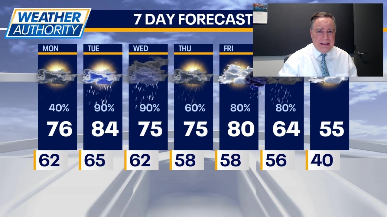
Severe thunderstorms are expected to affect more than 70 million people this week, with Level 3 risk areas in the Upper Midwest on Monday and an expanded threat from Texas to the Great Lakes starting Tuesday. Hazards include large hail over 2 inches, tornadoes, damaging winds, and 1–2 inches of rainfall with a Level 1 flash-flood risk across a broad corridor. The setup could disrupt transportation, logistics, and local infrastructure across multiple states.
The immediate edge is not in headline storm damage, but in operational friction: even a modest hail/tornado corridor can create outsized disruption for time-sensitive freight, parcel, and rail networks because rerouting capacity is already tight in spring peak. The first-order trade is localized asset downtime, but the second-order effect is network congestion: missed handoffs, deferred loads, and elevated spot pricing can persist 24-72 hours after storms pass as carriers rebalance equipment. The more important macro implication is that this setup is a short-duration negative for transportation efficiency but a medium-duration positive for repair, replacement, and emergency response spend. If hail claims cluster across the Upper Midwest, insurers and contractors tend to see a delayed surge in demand over the next 1-6 weeks, while retailers with weather-sensitive categories face inventory whiplash if stores lose power or foot traffic. The flash-flood piece matters less for direct loss severity than for compounding logistics disruption across the Mississippi/Great Lakes corridor, where a single day of intermodal delay can cascade into service-level misses. The market may be underestimating how often these spring events create opportunity rather than catastrophe: unless the storm footprint is materially larger than forecast, the economic drag is usually temporary and localized. The real tail risk is escalation into repeated events that impair claims ratios, raise freight costs, and push deliveries into a more expensive air/expedite mode for several days. Conversely, if the cap persists and storms underdeliver, the trade reverses quickly because weather-premium names will mean-revert faster than the market expects.
AI-powered research, real-time alerts, and portfolio analytics for institutional investors.
Request DemoOverall Sentiment
moderately negative
Sentiment Score
-0.30
