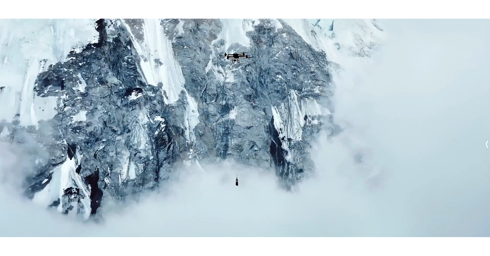
DJI сообщила об успешном завершении трех миссий на горе Джомолунгма (Эверест), применив DJI FlyCart 100 (до 47 кг груза на высоте >6300 м) для доставки 10 073 кг припасов и отходов между Base Camp и Camp 1 за один полет около 8 минут, что существенно сокращает время пешей логистики. DJI Matrice 4E в сезоне весны 2026 нанес на карту более 3 км² ледопада Кхумбу на сантиметровом уровне за 3,5 часа при температуре ниже -20°C, поддерживая мониторинг опасностей в реальном времени. В поддержку климатических исследований DJI EV50 за 12 дней 12 раз доставил озоноизмерительное оборудование на высоту до 8861 м, включая первый случай применения дронов для наблюдений высотной тропосферы в рамках соответствующих атмосферных исследований.
This is not a direct DJI equity catalyst; it is evidence that autonomous mapping/delivery is crossing from proof-of-concept into operational workflow. The public-market implication for GOOGL is indirect but real: every incremental drone mission generates structured geospatial data, which increases demand for cloud storage, AI inference, route optimization, and mapping layers. That helps the enterprise software stack more than the hardware vendor, while pressuring legacy aerial survey and helicopter-based field services that still monetize the same use case with far worse unit economics.
The near-term setup is more about validation than revenue. If municipalities, climbers, insurers, or environmental groups start paying for drone-first workflows, the addressable market for geospatial APIs and analytics expands, but the first measurable financial impact would show up in Cloud and Maps usage metrics over 1-3 quarters, not immediately in earnings. The second-order winner is whoever owns the workflow orchestration layer; for now that is a reason to keep GOOGL on the watchlist rather than force a trade.
Contrarian view: the market may be overestimating the strategic value of the OEM milestone and underestimating how little of the economic rent accrues to the drone maker. The thesis for GOOGL only works if enterprise adoption translates into billable cloud/geo workloads; if this remains a niche high-altitude showcase, the impact is effectively noise. Falsifiers are simple: no acceleration in Cloud growth, no lift in Maps/geospatial monetization, or no follow-on procurement from public-sector users over the next 1-2 quarters.
AI-powered research, real-time alerts, and portfolio analytics for institutional investors.
Request DemoOverall Sentiment
mildly positive
Sentiment Score
0.25
Ticker Sentiment
