
Drone U Brings Professional Engineering Continuing Education to Flight Training
Source: PRWeb
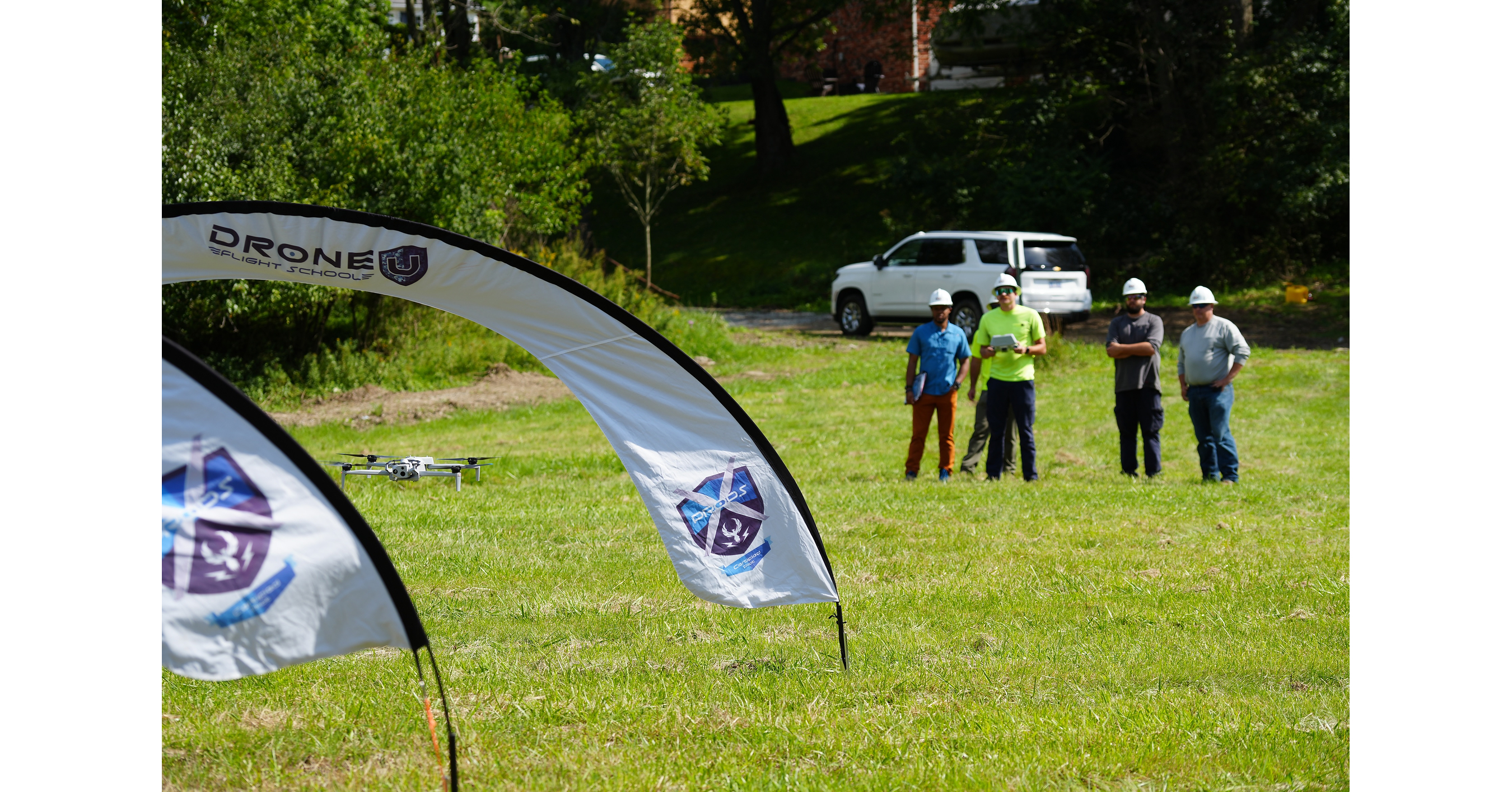
Drone U says engineers can earn 24 professional development hours through FAA Part 107 training, subject to acceptance by their state licensing boards. The Colorado flight school describes its RCEP-recognized program as combining aviation instruction with applications such as mapping, infrastructure inspection and 3D modeling; it says it is the only flight school known to offer this combination.
Analysis
This is a small education-product signal, not evidence of an earnings inflection: the release provides no enrollment, pricing, renewal, or revenue data, and the claimed uniqueness is qualified as “known.” The RCEP/Part 107 bundle may improve course conversion, but it is a weak moat: engineers can obtain pilot certification elsewhere, while state-board acceptance and employer recognition determine the credential’s practical value. Verify those before underwriting durable demand.
The more investable second-order effect is workflow adoption, not training revenue. Easier access to competent operators can increase drone use in inspection, construction progress tracking, and asset documentation. That could benefit providers of mapping, photogrammetry, and engineering-design software, while pressuring labor-intensive inspection and surveying services if aerial collection substitutes for field hours. The offset is that data capture does not itself resolve accuracy, liability, or licensed-survey requirements; workflow integration and defensible measurement standards remain bottlenecks.
Near term (days): no clear public-market catalyst or mapped listed exposure; the announcement is unlikely to support a trade by itself. Over 1–3 months, watch for independently verifiable enrollment growth, enterprise contracts, and state-board acceptance. Over 6–18 months, the larger question is whether drone-derived data becomes embedded in recurring engineering workflows rather than remaining a project-level tool. A reversal would be weak course uptake, limited regulatory acceptance, or evidence that data quality and liability costs erase field-efficiency gains. No valuation, market-consensus, or company-level financial claims are supportable from this release.
AllMind Terminal
AI-powered research, real-time alerts, and portfolio analytics for institutional investors.
Request TrialMarket Sentiment
Overall Sentiment
mildly positive
Sentiment Score
0.20
Key Decisions for Investors
- No direct position on this announcement: the issuer is not identified as a publicly traded company in the supplied data, and the release lacks financial or adoption metrics.
- Add engineering-software and geospatial-data providers, including Trimble and Bentley Systems, to a watchlist—not as immediate buys. Look for drone-data product uptake, recurring software revenue commentary, and customer workflow integration before taking exposure.
- Treat labor-intensive inspection and surveying services as a conditional relative-value short only if subsequent evidence shows drone collection replacing billable field hours; do not infer displacement from training availability alone.
- Set verification triggers: confirm state licensing-board PDH acceptance, course enrollment and completion, and enterprise demand. Absent those, classify the announcement as promotional rather than a durable competitive advantage.
More News
- AMD stock jumps 7% on earnings as data center revenue nearly doubles
- Marvell-Lumentum Deal Puts Optical Networking at the Center of the AI Boom
- Marvell Technology could plunge on latest multibillion-dollar acquisition
- AI Inference Startup Fal Raises Capital at $16 Billion Valuation
- AMD’s OpenAI, Meta chip deals trigger $1 billion quarterly charge
- North Korean fake job interview led to $6.3B Binance heist